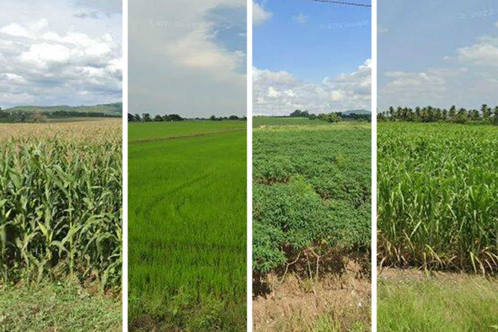
Crop maps help scientists and policymakers track global food supplies and estimate how they might shift with climate change and growing populations. But getting accurate maps of the types of crops that are grown from farm to farm often requires on-the-ground surveys that only a handful of countries have the resources to maintain. Now, MIT engineers have developed a method to quickly and accurately label and map crop types without requiring in-person assessments of every single farm. The team’s method uses a combination of Google Street View images, machine learning,…


